Introduction:
What? : A short trail
leads through a conifer forest and across granite slabs to reach May Lake.
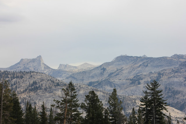
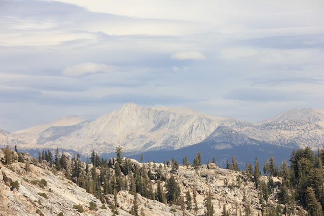
Enjoy views of Half Dome and surrounding mountains on the way. This is 2.4-mile-long
with 500 feet of elevation gain relatively easy hike with a fantastic view of
the lake and Mt. Hoffman.
Where? : When coming
from the west the roadside entrance is located 31.7 miles from the Gas station.
When coming
from the east, after Olmsted Point, drive for additional 2.3 miles and watch
for signs for May Lake on the right (32 miles from Lee Vining highway 395).
Turn onto the 2
miles narrow one lane road that takes you to the small parking lot at the
trailhead.
Google Map Link
Additional Yosemite and nearby locations blogs:
Yosemite National Park – How to plan your One-Day visit
Yosemite NP – Tioga Pass Road
Yosemite NP – Tioga Pass North Dome Hike
Yosemite NP – Tioga Pass Lembert Dome Hike
Yosemite NP – Tioga Pass Tuolumne Meadows
Yosemite NP – Tioga Pass Tenaya Lake
Yosemite NP – Hetch Hetchy Visit Planning
Yosemite NP – Hetch Hetchy, Wapama Falls Day Hike
Yosemite NP – Hetch Hetchy, Laurel Lake Day Hike
When? : If you are
planning to drive Tioga pass road (highway 120), enter or exit the park east
entrance or visit Tuolumne Meadows make sure to visit the park main page to
understand if this road is open or close. The road is usually open from mid-May
to end of October.
Follow the link
below for history records of road opening and closing dates:
https://www.nps.gov/yose/planyourvisit/seasonal.htm
Note: last time I was
here was in 2016
Due note 1: You do not need
a permit for North Dome if you are doing it as a day hike.
Due note 2: There aren’t
many parking places in the trail head, and late in the day it can be challenging
to find a place to park. This “parking” is the main Tioga Pass Roadside, drive slowly
and look for empty spot as you are approaching the TH, if you plan to do U turn
be extra careful. Park outside the road line and park legally i.e., do not park
where there are “no parking” sings.
Due note 3: The nearest
Gas stations locations:
West: 25 miles
at the junction with Big Oak Flat Rd.
East: 34.3
miles at highway 395 and the town of Lee Vining
Due note 4: When I visit
here, Oct. 2022 the grill & convenience store near the east end of Tuolumne
Meadows was close and under major renovation. Not clear when this will be open.
Due note 5: There is a
large campground in Tuolumne Meadows but from my experience it is fully booked
early in the year. If you are planning to stay here, book your campground in
advance.
Due note 6: It can be a
bit windy and breezy up at the exposed rocky dome so consider bringing warm
cloth with you.
Due note 7: Stay off domes
during thunderstorms!
It is not safe
to be in high exposed location when there are lightnings…
Due note 8: As in all other
trail hikes in Yosemite dogs aren't allowed on this trail.
Due note 9: There are
restrooms at the trailhead.
Due note 10: Park Rangers are
closing this road for the winter earlier then Tioga Pass Road, If the dirt road
is closed you will require an additional 2 mile hike up the road, and
additional 2 mails on your way back.
Due note 11: You won't be
alone here, since it's a short hike but there is plenty of space at the lake
shore so you will not feel it is crowded.
Due note 12: you can find pit
toilets at the trailhead or near the lake that is closes when the camp close.
Due note 13: No oversized
vehicles and RVs allowed on the side road leading up to trail head parking.
Due note 14: Mount Hoffman peek
is hard and challenging hike, it includes route-finding, steep grades, scramble
to the summit. Do this only if you know what you are doing.
My thoughts: This is an amazing
view to see May Lake on the foot of the impressive Mt. Hoffman summit. I did
this hike only once but I’m sure I will do this hike again. The hike itself is
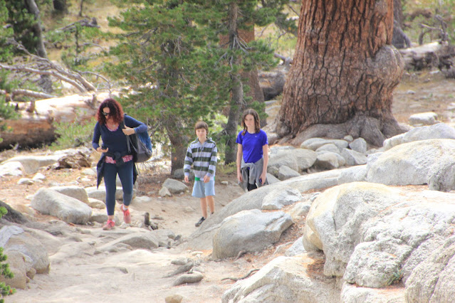
relatively short and not difficult even for kids.
The Hike:
Few general hiking guidelines:
Stay on
established trails, pack out what you pack in, Overnight backpackers need a
wilderness permit, carry (and drink) plenty of water. Be sure to treat river,
stream, lake, or spring water.
You will start
this well maintained and clearly marked trail at the end of the road parking.
You will start
a gradual incline trail in a nice high pine forest.


Comments
Post a Comment