
Introduction:
What? :
This loop hike will
take you to hot Springs pools nested in a deep narrow canyon, the trail also
passing at the Colorado river.
Overall, this is
a 6.4-mile-long hike, with 1,500 ft elevation gain and it took me 2.5 hours.
Highly recommended
hike.


Where? :
The Arizona Hot
Springs Trail is about 40 miles from Las Vegas or if you are coming from Kingman
this is 68-mile drive. The parking lot is on the north side of State Route 93,
about 3.5 miles south of the Pat Tillman Bridge.

Google Map Link
Related Nevada Blogs:
- Valley of Fire State Park
- Red Rock Canyon Nevada
- Red Rock Canyon – Turtlehead Mountain Hike
- Red Rock Canyon – Calico Basin Trail
- Red Rock Canyon – Guardian Angel Gully Passage
- Red Rock Canyon – Calico Hills Loop Hike
- Lake Mead NRA – Goldstrike Hot Springs
- Lake Mead NRA – Hoover Dam South Viewpoint, Off Trail Hike
- Arizona Hot Springs Hike
- Lake Mead National Recreation Area – Visiting Hover Dam
- Lake Mead NRA – Boulder City, NV; Old Train Track Hike
- Lake Mead NRA – Sunset View Scenic Overlook
- Lake Mead NRA – Owl Canyon Hike
- Lake Mead National Recreation Area – Northshore Road
- Lake Mead NRA – Anniversary Borax Mine and Canyon Hike
- Lake Mead NRA – Redstone Area Hike
- Lake Mead NRA – Rogers Spring
Related Arizona Blogs:
When? :
The trails in this area are
open to the public from October to April of each year.
Due note 1: Arizona Hot Spring trail system is clos each year from May 15 to Sept. 30.
Please check
for up to date information in National Park website before your hike.

Due note 2: This area is inside
Lake Mead National Recreation Area, for more information and regulation visit their
website.
Due note 3: During April
2023 the park website wrongly say that “The ladder at the hot spring was
damaged by a flood. There is no access to the pools from the river at this
time.”, this was not the case, and it was safe and easy to climb the metal ladder.
Due note 4: During winter
flash floods in the canyon is a concern if there are rain or thunderstorms in
the area.

Due note 5: Except the Colorado
river here are no reliable water sources along the hike. There are restrooms at the trailhead parking, and also near the Colorado river.

Due note 6: Use sun
Protection to avoid sunburn and were a hat.
Due note 7: You are going to walk in water and wet your shoes in the pools so it will be good to have water sandals with you. you can get your shoes off for the short walk in the hot springs.

Due note 8: Pack out all
your trash.
Due note 9: Please do not
move the sandbags that create the pools.
Due note 10: There is no
cell service in the canyon.
Due note 11: The parking lot
at the trailhead is large and you can drive out in both directions, east (Arizona) or west
(Nevada) in a safe manner.

My thoughts:
I really like
visiting here and seeing both the Colorado river the visiting the hot spring
pools. They are unique manmade (by sandbags) pools that are clean and deep for
good bathing and soaking.
I was under
time shortage so I can’t stay in the river or the pools a lot of time, but it
was fun and rewording hike.
The climb back
to the car was short but it was already hot, and I took it slow.
When I visit here at the spring of 2023 there were many flowers in the wash, It was nice to see all the flowers after a rainy winter.


The visit:
Do remember
that because of the extreme heat conditions Arizona Hot Spring trail system is
clos each year from May 15 to Sept. 30.
Please check
for up to date information in National Park website before your hike.
Overall, this is
a 6.4-mile-long hike, with 1,500 ft elevation gain and it took me 2.5 hours.

The above map describe the trail using the standard rout getting up from the hot spring.
If you want some more exploration you can also hike back by using the "petroglyph rock" canyon. This hike involved with two dry waterfall climbing that may be changing to some people. Not extreme climbing but something that not all hikers will be comfortable with.
The below map shows in red the "petroglyph rock" canyon trail:

Although this hike can be done by hikers from almost all levels, I will rank this as difficult level hike because of the potential hot temperatures.
When it is hot (also during winter) walk slow, make a lot of rest-stops, and drink a lot
of water.
I waked relatively fast and did not spend a lot of time at the Colorado River or at the spring.
I do recommend planning for this hike at least 4-5 hours including your
stops, so bring with you enough water and snacks.
Even In early
April the temperatures can be high and hot, especially at noon when
climbing up from the lower Colorado river level to the trail head parking.

The hike starts
at the trailhead and pass under highway 93 bridge, soon after the bridge you
will pass another set of large park signs.

In this section the landscape is a wide desert wash where several trails heading down.
Keep walking
down the wash for about 0.5 mile until you will see trails heading to the left
bank, climbing the hills, this is the shortest way to the Hot Springs. I decided to do the loop hike and visit the Colorado river first so i kept hiking in the main wash down.
After almost a
mile following White Rock Canyon Trail you will see a trail heading to the
right, this trail will take you to Liberty Bell Arch and vista point, I did not
visit there yet.


Keep hiking in
the main trail down the wash, here the wash start to narrow, and it is getting
into a canyon with few small drops and dry falls with loose gravel most of the
way.

The canyon
twists and turns, sometimes it get narrowed and, in some section, open up to
the walls and cliffs on both sides of the canyon.


Finally, after exactly 3 miles from the trailhead you will be approaching the Colorado River.
Here the
canyon open-up and covered with more vegetation near the river front.


Several people
were camping here for the night when I visit here and few other people with
kayak that paddle this location from Willow Beach Marina that is located down
the river.


The Colorado
River is wide and with blue-greenish water where the surrounding rocky cliffs
closing on it.
I do believe this
Colorado River section is part of Lake Mohave (dam by Davis Dam) and the water
are not flowing as a free-running river but I’m not sure.
You can enjoy
here the river view, have a long stop or even take a swim.
Once you
decided to keep with your hike, you need to find the way leading left into the
bushes near the river, when I was here there were few signs pointing to the
trail.


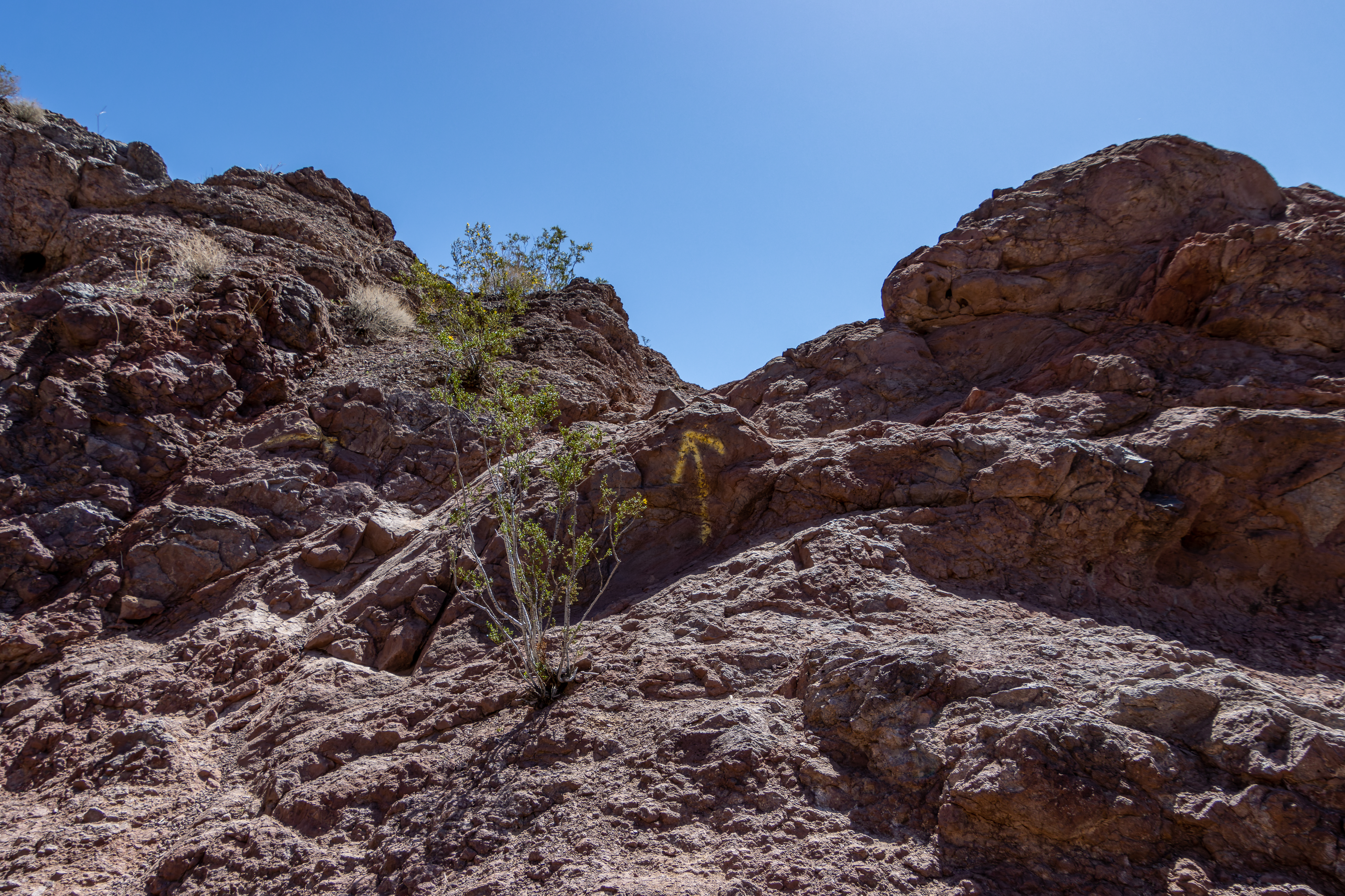
The trail flow the rock section near the river, just follow the clear trail and look for errors marking on the rocks.

I hiked thousands of trail in the US and I rarely saw people painting arrows on the rocks, it was in this hike and also in the nearby Goldstrike Hot Spring trail where it was common to see graffiti on the rocks.
After short
distance near the river the trail climbs to the left up to a local creek dividing
hill.
From this point
you can see the narrow hot spring creek below you.

Take the trail going
down, leaning to the right side of the cliff and soon you will reach the bottom
of the canyon.

When I was here
the water in the creek were running and there was a lot of local desert
vegetation.
Here you can turn right and reach another large beach on the Colorado river.
You can find here a restrooms.
After visiting the beach the trail turn to the left up the canyon.


The narrow
canyon take few turns and small climbs until you will reach the 20 foot
waterfall and large metal ladder.


Overall, from
our stop at the Colorado river we hiked 0.5 miles up to the waterfall.

Climb the metal
ladder you reach the lower hot spring pool.

In this narrow
cliff walls canyon, there are four pools of increasing depth and heat, kept in
place by sandbags walls.

The water is
about hip deep height so you can take your bag up and not get it wet.
As with most
hot springs, the water may have harmful bacteria, so should not allow any contact
with the nose or mouth.

The 4 pools are narrow and not so large but they are not small either so you will feal comfortable to soke in the water.
When I was here there where about 15 other hikes, and it was not felt to crowded.

The water get hotter as you move up the pools.
After the last
pool you can see the spring itself in the middle of the gravel narrow canyon.

From the hot
springs you can hike back the same way you came in or you pass the hot springs
and walk up the canyon.
The hike back
up the canyon start in a narrow creek that open.

You need the
walk in the wash and at some point, you will see the main trail heading to the
left and climbing a side creek, this will be about 1 mile after the hot
springs.
Here is the fork point where you can turn left up or keep walking in the main wash and use the petroglyph rock path.

Climb up this
side creek for about 0.4 mile to the top of the creek and at the saddle you can
see from far the highway.


Keep heading
east to the main wash and back, under the bridge, to the trail head.
If you decided to take the petroglyph rock path, keep walking in the main wash.


www:
https://www.nps.gov/lake/planyourvisit/arizona-hot-spring-trail.htm
Map:
https://www.nps.gov/lake/planyourvisit/upload/Arizona-Hot-Spring-Trail-Map-April-2-2018.pdf
Additional Pictures:


Comments
Post a Comment